Expert in imagery processing, GAIDDON Software SAS develops and publishes products in the field of 3D mapping from 2D imagery, radiometric processing and 3D urban models for training, telecom and serious gaming. Based in Toulouse, south of France, our expert team focuses on innovation.
We provide innovative solutions to fit your operational needs
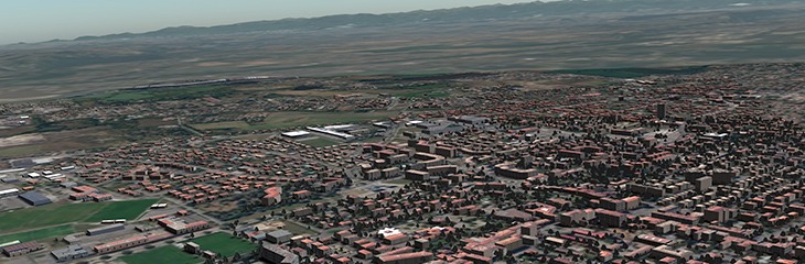
PixelBlender
SDK for radiometric harmonization
PixelBlender is designed to process countrywide imagery covers.
The library is easy to include within your ortho-rectification toolchain, it can be used to generate homogeneous imagery for your GIS, virtual globe or realtime simultor as well.
Digibati
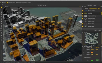
3D buildings extraction from single imagery
Digibati is a unique tool able to extract building footprints and to compute building heights from their casted shadows. Digibati is the perfect tool to process very large areas in order to fill your mapping database and your virtual environments.
Gimbalsim
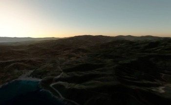
Training and mission planning
GimbalSim is a drone video camera sensor simulator. It is the ideal tool to prepare your missions and to train yourself with different kind of scenarios and weather conditions.
Find out Gimbalsim, our training solution for UAVs :
REFERENCES